Inspect a hundred kilometers before lunch.
Drone and remote-sensing programs with AI analysis for inspection, surveying and monitoring of assets in the field.
One call with a senior engineer. A straight answer on what it would take.
Where you are. Where you’ll be.
You need this if
- You maintain widely distributed physical assets
- Inspections depend on sending crews to remote sites
- Defects are found only after they cause outages
What changes for your business
- Inspection cycles cut from weeks to days
- Fewer people working at height or in hazardous areas
- Defects found earlier, repairs planned not emergency
What we hand over
- Drone and sensor program design and flight operations
- Computer-vision defect and change detection
- Integration with asset and maintenance systems
- Regulatory and safety compliance support
What it is
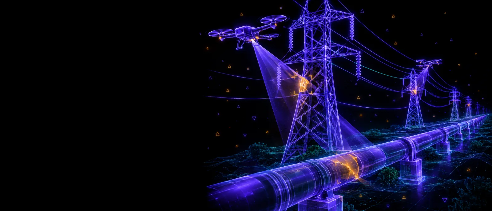
Drone-based field operations use unmanned aircraft and sensors to inspect and survey distributed assets such as power lines, pipelines, roofs, solar farms and crops. Paired with computer vision, they find defects faster and more safely than crews on foot, and on a regular schedule instead of when someone gets around to it.
Manual inspection of pipelines, power lines, roofs, solar farms or crops is slow, expensive and sometimes dangerous. We set up drone and sensor programs that capture imagery on schedule, use computer vision to detect defects, corrosion or change, and push findings straight into your maintenance system as prioritized work orders.
- Why now
- 542K industrial robots installed worldwide in 2024, double the figure of a decade earlier. IFR World Robotics, 2025 (opens in a new tab)
- Last reviewed
How it runs
- 01
Diagnose
Typically 2–4 weeksWe map the problem, your data and your systems, and agree the one number that defines success.
- 02
Prove
Typically 4–8 weeksA working pilot on your real data, measured against that number. Not a slide demo.
- 03
Ship
Scoped to the outcomeProduction build with security, monitoring, cost controls and documentation included, not upsold.
- 04
Run
Ongoing, optionalWe operate what we built against clear service levels, or train your team to. Your call. No lock-in.
Questions you’ll ask
- What can computer vision detect in drone imagery?
- Cracks, corrosion, vegetation encroachment, hot spots on thermal imagery, missing components and change over time. Models are trained and validated on imagery of your assets before findings are trusted.
- Who flies the drones?
- Either your trained staff or licensed operators we coordinate, depending on scale and local aviation rules. We design the program, including flight schedules, permissions and data handling.
- How do findings reach our maintenance teams?
- As prioritized work orders in your existing maintenance or asset management system, with the image, location and severity attached. Crews go straight to the problem instead of searching for it.
Sound familiar? Let’s fix it.
One call with a senior engineer. You’ll leave with a straight answer on what it would take.
Let's Build Together